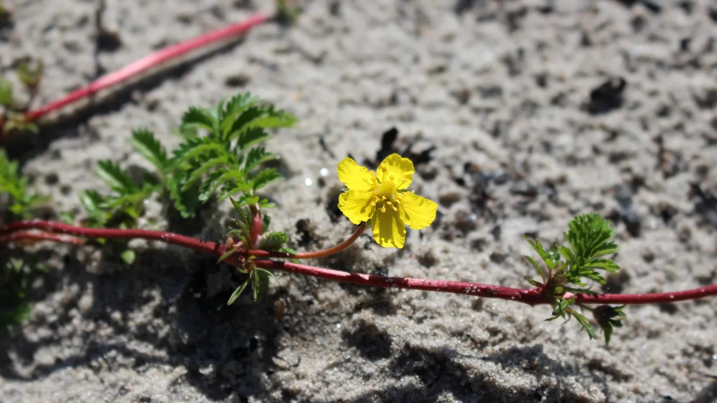
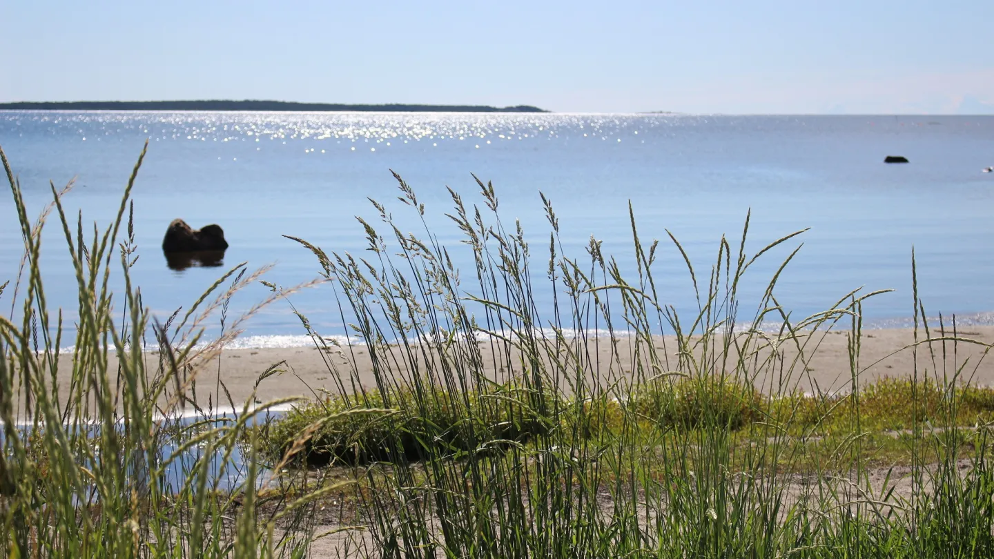
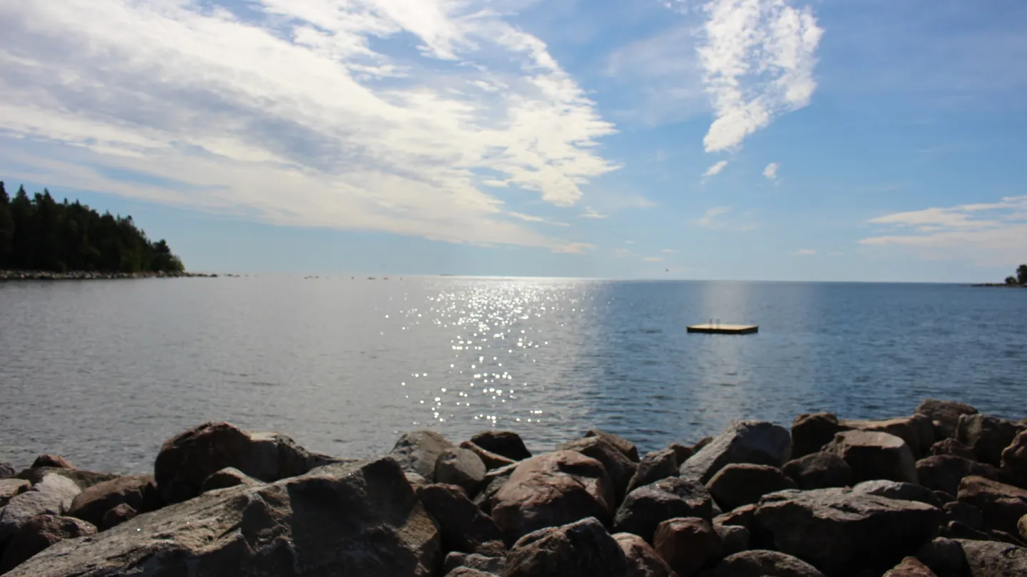
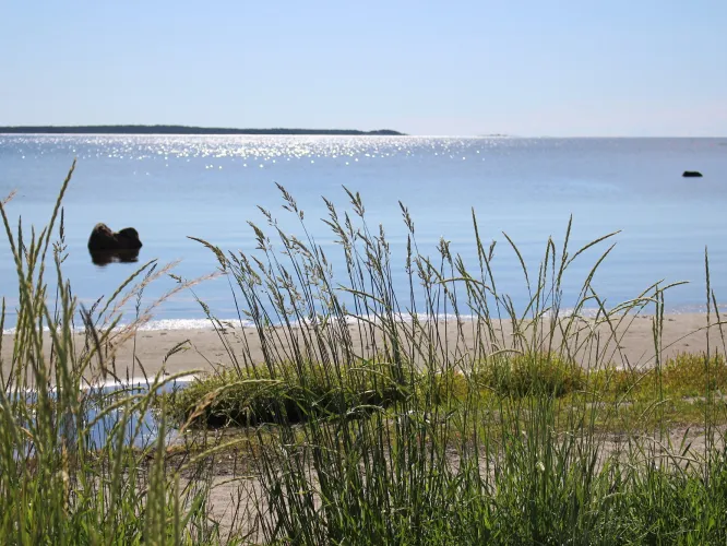
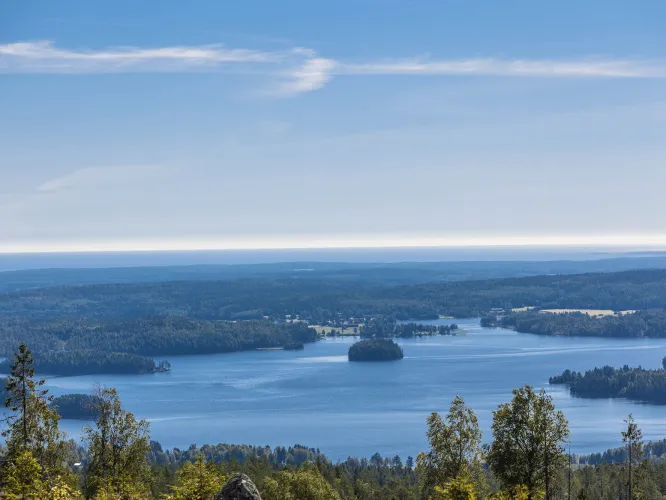
Miles wide view from high mountains. Old charming forest trails. Swamps. Berries and mushrooms. Moose, roe deer, foxes, beavers. A wide variaty of lakes and rivers. Our open nature with traces of what has already passed. The bird songs, butterflies and vegitation. The calm, the still and the quiet. All a part of the nature in Nordanstig.
The presence of both the coast and mountains in our municipality gives the nature lover unlimited options. Fishing spots, boat trips, chalets, high view points, forest and a countryside cut through by winding valleys. These are some of the recogniziable charactaristics of Nordanstig. Sailing, hiking, climbing, cycling, downhill skiing, golf, fishing, horse back riding and swimming compliments and enhance the experience with this special nature.
Hiking trails
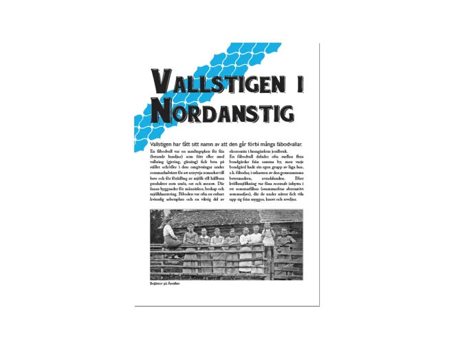
Vallstigen
When following Vallstigen you will walk on trails of old, starting in Hassela and continues all the way to Norrfjärden, approximately a 63 km long journey. The trail passes 11 chalets and goes from sea levels to 330 m.a.s.l. on Västansjökullen. It winds along the streams where the beaver works and over mountains with miles wide view. The trail has 12 wind protections and 12 simpler resting places with benches. There are seven bathing spots by the trail and showers in Hassela and Norrfjärden. The chalets history is shortly discribed at every chalet spot. There are plenty of places to set up a tent along teh way. Along th trail there is also information about the villages history, nature conservation areas and other attractions. And don't be alarmed if suddenly see any fairies or any othe magical creatures.
Information folder about the trail (in swedish):(PDF to download and read) VALLSTIGEN 3,58 MB
Kustleden
Kustleden starts in Galtström, Sundsvall, and follows the coast all the way down to Dässviken by Hornslandet, Hudiksvall, a total distance of 85 km. Our description shows from Galtström to Sågtäkten, Strömsbruk, but our neighbours down south have now made it possible to hike all the way down to Hornslandet in Hudiksvall. Mixed terrain with forest trails, smaller roads and short streches you follow parts of Kustvägen. The trail is best suited for walking by foot. The trail follows the coast and there are a couple of wind proctections along the way. You will pass the beautiful coastal resorts Ragvaldsnäs, Norrfjärden, Sörfjärden, Hårte, Mellanfjärden, Stocka, Strömsbruk, Sågtäkten and Hornslandet.
The terrains is relativly easy, but wet and stony paths might occur. The trail is marked with teh color orange througout the trail.
Information folder about the trail (in swedish): (PDF to download) KUSTLEDEN 5,7 MB
Nature trail west of Strömsbruk
The nature trail is a marked and easy hike trail which passes a number of bronse age cairns. There is information along the trail about the nature in the area. The westernmost part of the trail passes a small natural pond, home of i.a. the red-throated loon and the crane. There is also a arranged spot by the pond where you can stop for a fika.
Sindra - power station and nature trail
Sindra is an old and popular destination where the river Harmångersån flows out from the lake Storsjön. Here there is a hydro-powered dam with a bridge to a scenic area by Storsjöns eastern beach with a view of the entire lake. There is also a nature trail to the east just by the rivers power dam canal with remains of old log-driving.
Hiking trail
Edsmyrsån intrerest association has laid out a hiking trail close connection to "Trolska skogen" ("The enchanted forest") between Kvarnmon and Mellanfjärden. The trail also pass by Mons hostel and The rope warehouse Handslaget. You can find a information board about the trail in Mellanfjärden's town square.
Kulturstigen - Sörfjärden
You will find kulturstigen (culture trail) in Sörfjärden. A three km long trail, with 21 different spots informning about Sörfjärdens rich history. A folder with a map can be found in Sörfjärden square. You can also order a folder through Nordanstigs Tourist information. Mail [email protected].
